
SimActive Correlator3D Multi-Camera Update – DRONELIFE
 New Features to Boost Precision Mapping in Agriculture, Resource Management, and Construction
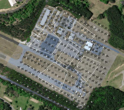
Montreal-based photogrammetry software developers SimActive recently announced that its Correlator3D™ end-to-end software platform has added compatibility with multi-camera systems, allowing for a wider range of photogrammetry products. The additional sensors include oblique, infrared, and multispatial cameras that can be mounted to either UAVs or other aircraft. Designed for professional clients in the agriculture, resource management, and construction industries, the additional functionality allows for even more detail in their high-precision maps.
Correllator3D allows for the import and set-up of multiple cameras, facilitating a robust triangulation process to ensure maximum accuracy. Each camera is corrected for position and displacement relative to others within the image processing group.
“Supporting our users’ need to import imagery from multiple sensors and correctly define their relative parameters sets Correlator3D apart from others” said Louis Simard, Chief Technical Officer with SimActive. “Only then can you merge these sensors and create accurate mapping deliverables.”
Correlator3D performs aerial triangulation (AT) and produces dense digital surface models (DSM), digital terrain models (DTM), point clouds, orthomosaics, 3D models and vectorized 3D features. Using high-powered processors and GPUs, Correlator3D can support rapid production of large, complex datasets. DroneLife recently reported on SimActive’s history of mapping software, exploring their more than 2 decades of high-accuracy tracking.
More information on SimActive and the Correlator3D software is available here.
Miriam McNabb is the Editor-in-Chief of DRONELIFE and CEO of JobForDrones, a professional drone services marketplace, and a fascinated observer of the emerging drone industry and the regulatory environment for drones. Miriam has penned over 3,000 articles focused on the commercial drone space and is an international speaker and recognized figure in the industry. Miriam has a degree from the University of Chicago and over 20 years of experience in high tech sales and marketing for new technologies.
For drone industry consulting or writing, Email Miriam.
TWITTER:@spaldingbarker
Subscribe to DroneLife here.